Watch the fog move
Fog, wind and rain drawn on the map right now, and for the next 48 hours: press play or drag the slider. When the marine layer rolls in, you'll see it drift across the bay.
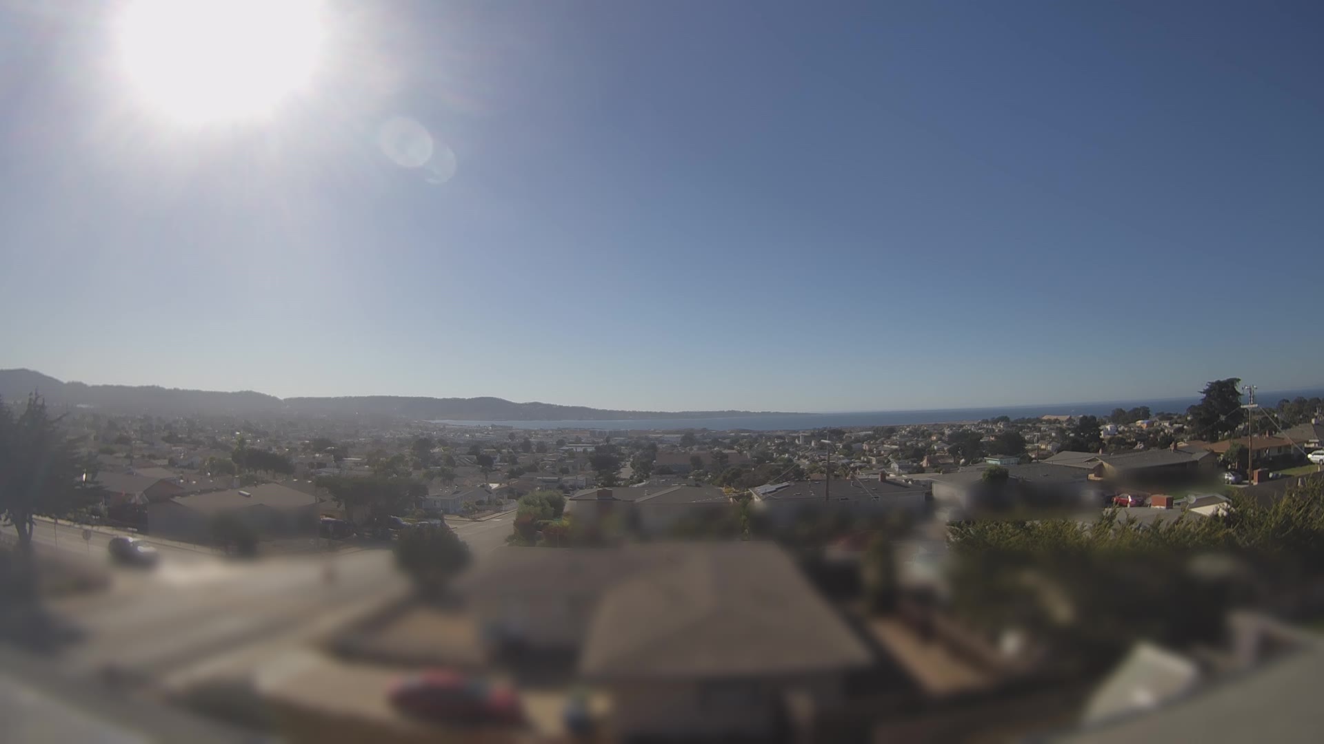
The forecast, from Lee Solomon
The map above is raw computer-model output on a ~15 km grid. For the forecast itself, listen to a local: meteorologist Lee Solomon's Beyond Weather covers every Central Coast beach and town, from Santa Cruz to Big Sur, with daily video forecasts.
Map data: NOAA HRRR/GFS weather models via Open-Meteo (CC BY 4.0), refreshed hourly. Fog is the model's low cloud and visibility, so it can miss a fog edge by a few miles. Satellite pictures: NASA GIBS (ESDIS), GOES-West from NOAA/NESDIS and VIIRS NOAA-21; the newest satellite frame is usually 45–60 minutes old. Beyond Weather forecasts and videos belong to Beyond Weather and are linked or played through YouTube; we don't copy them.