Monterey Bay · Santa Cruz · Big Sur · live
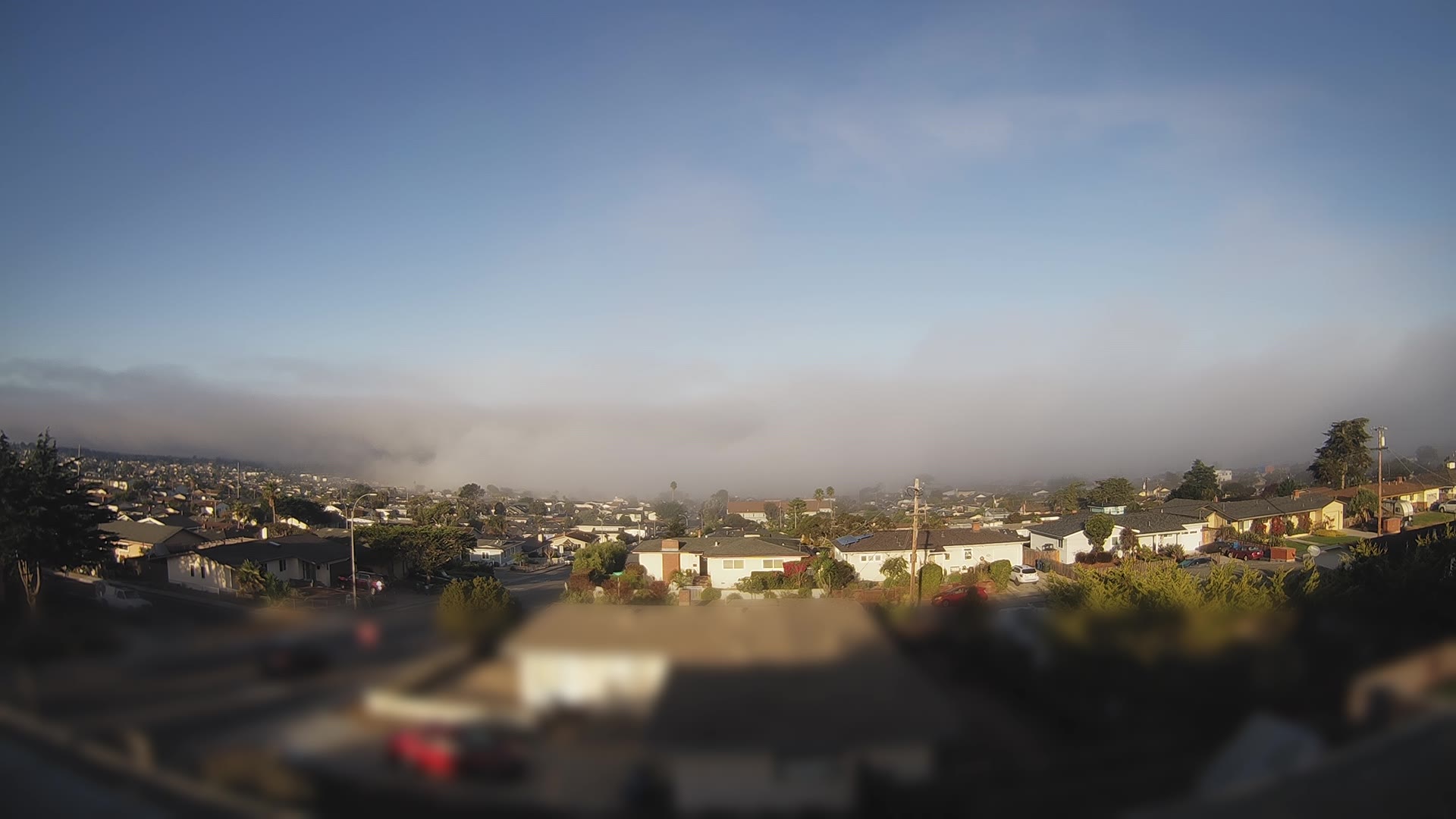
Watch the fog move
Fog, wind and rain drawn on the map right now, and for the next 48 hours: press play or drag the slider. When the marine layer rolls in, you'll see it drift across the bay.
Reading the fog forecast…
The forecast, from Lee Solomon
The map above is raw computer-model output on a ~15 km grid. For the forecast itself, listen to a local: meteorologist Lee Solomon's Beyond Weather covers every Central Coast beach and town, from Santa Cruz to Big Sur, with daily video forecasts.
Map data: NOAA HRRR/GFS weather models via Open-Meteo (CC BY 4.0), refreshed hourly. Fog is the model's low cloud and visibility, so it can miss a fog edge by a few miles. Beyond Weather forecasts and videos belong to Beyond Weather and are linked or played through YouTube; we don't copy them.